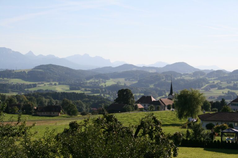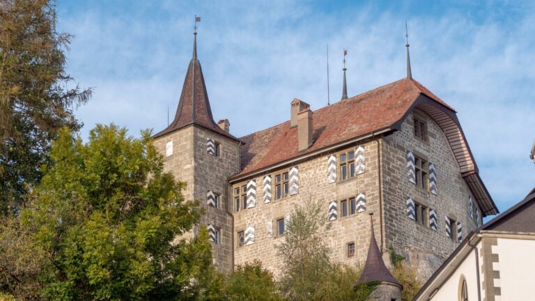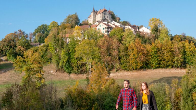

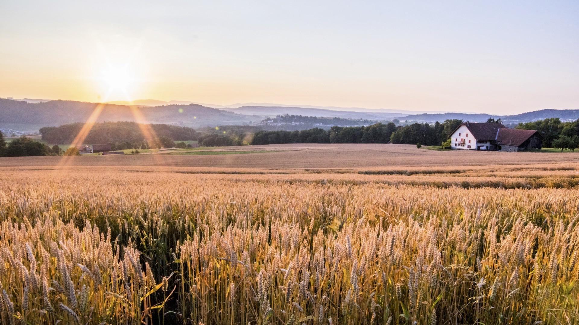
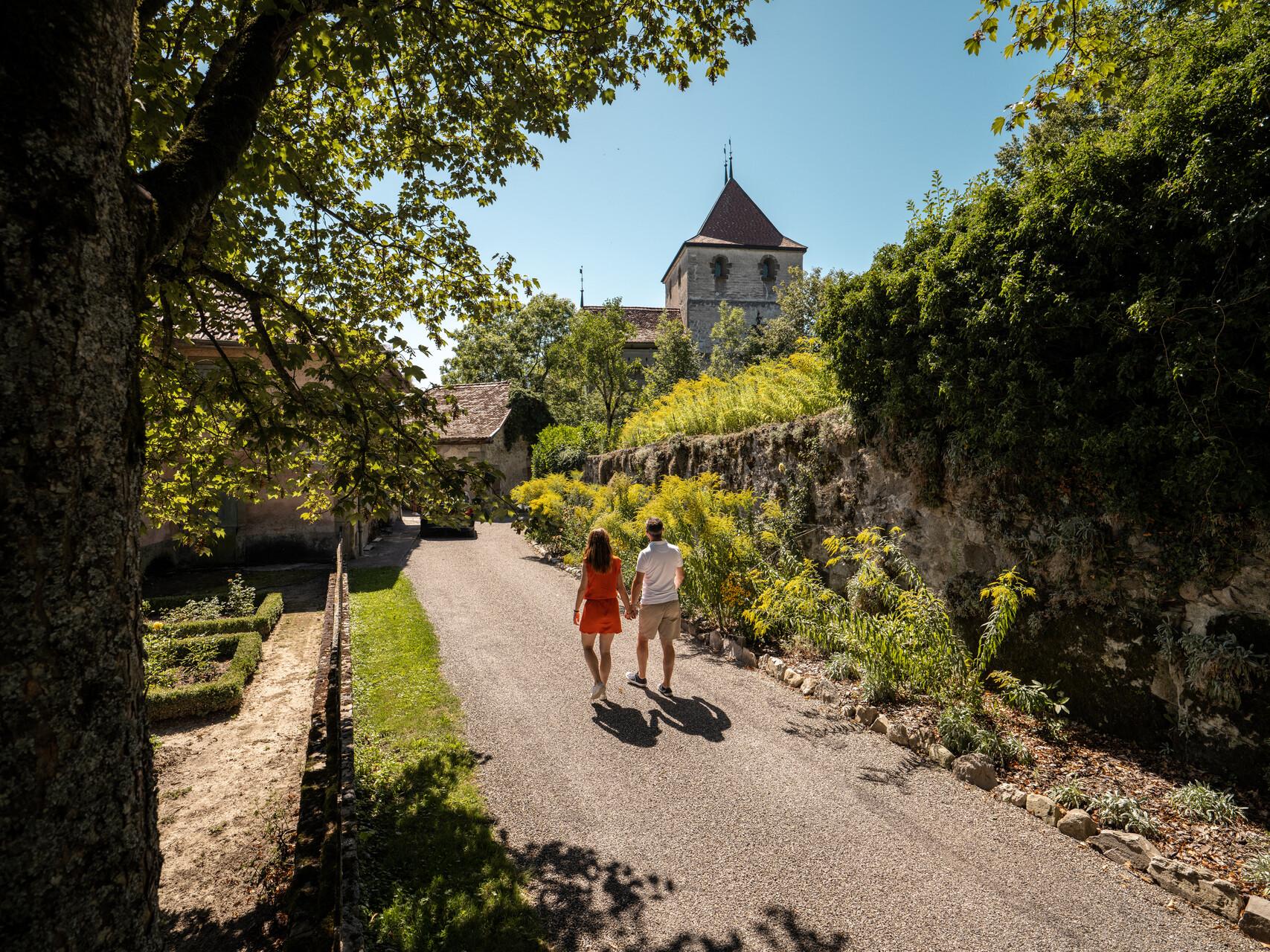
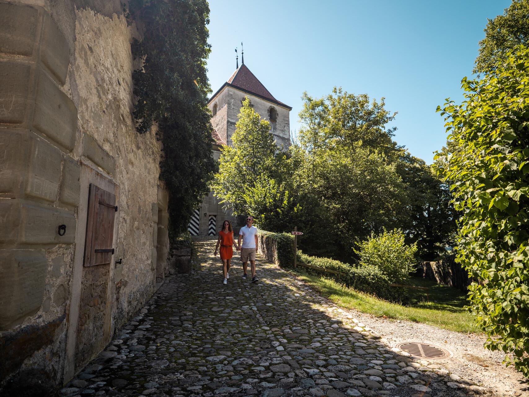
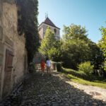
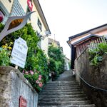
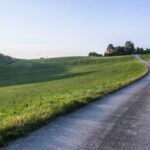
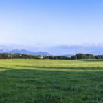
With its fortified castle and undulating countryside crossed by streams, Rue retains a relatively well-preserved cultural landscape.
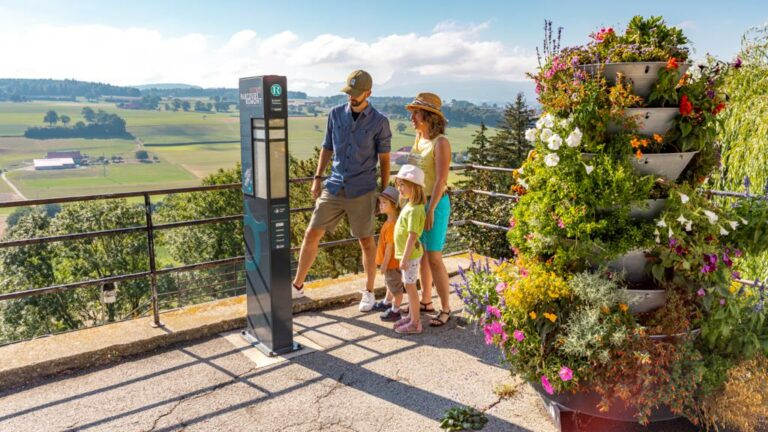
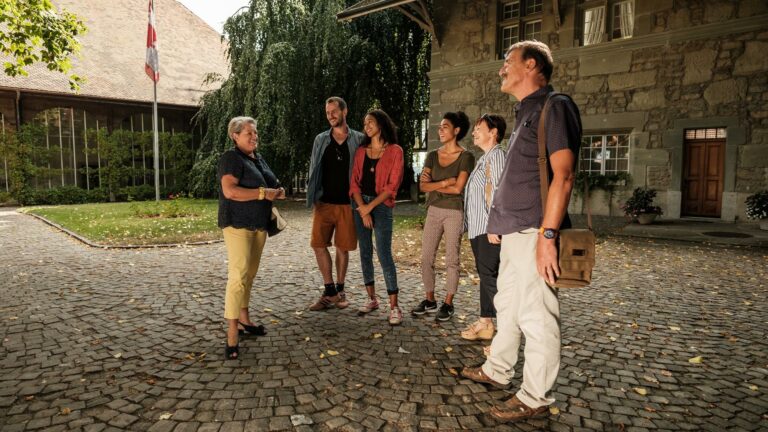
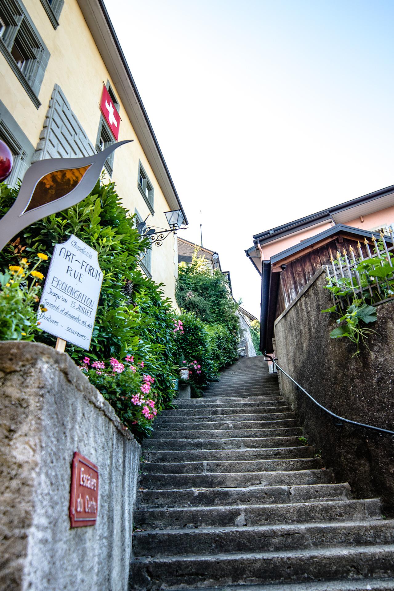
We invite you to discover its medieval streets, its monuments, its green nature, its past and its present.
The small town of Rue is built at the foot of a rocky spur; the castle standing on it was home to the local lords. Located on the road from Lake Geneva to Moudon and Avenches, Rue is alsoa crossroads leading to Romont. The earliest mentions of the mediaeval fortress date back to 1152 and the town was founded by Peter II, Count of Savoy, around 1264. The Savoy family occupied it until the region was annexed by Fribourg in 1536, at the same time as Romont. Rue was the first administrative centre of La Glâne district.
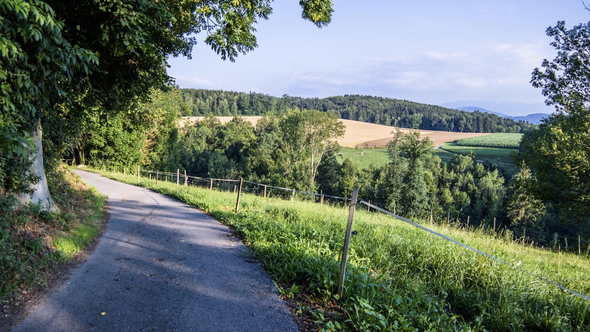
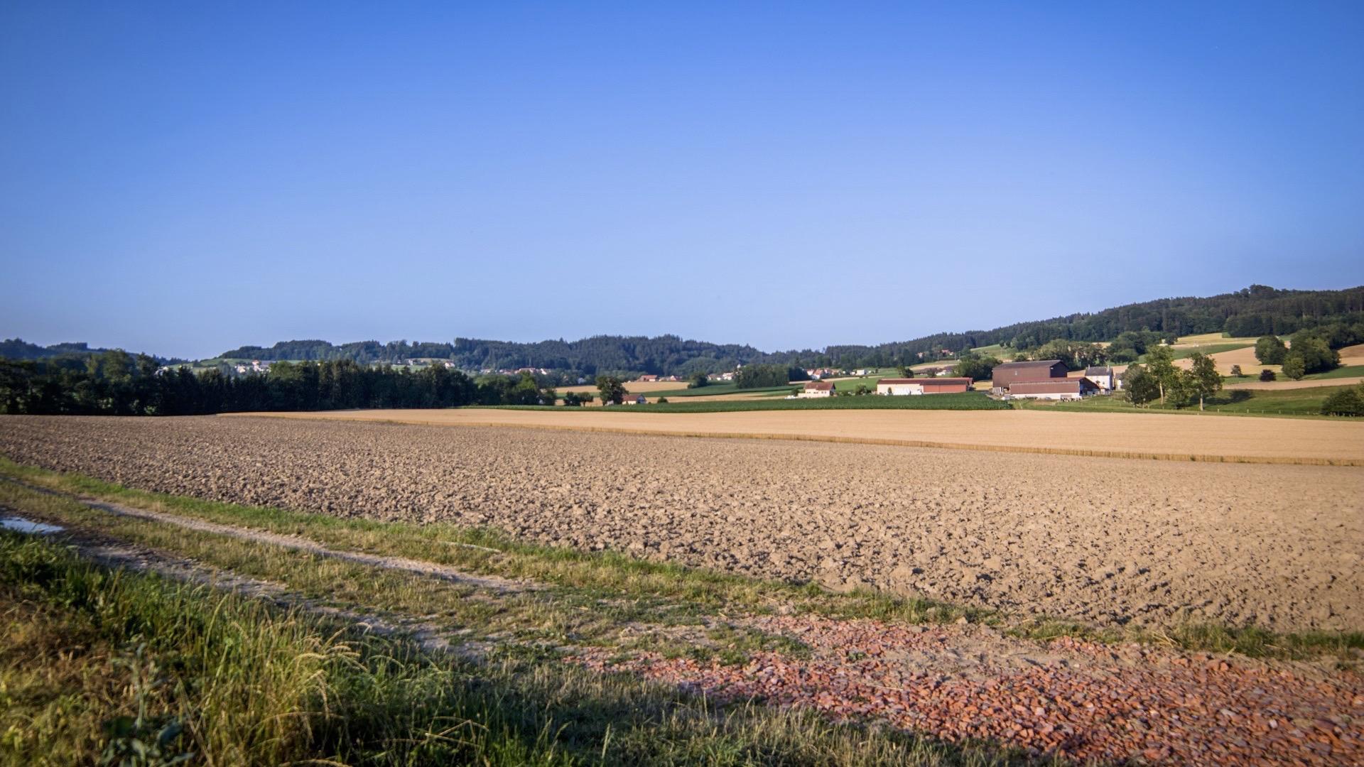
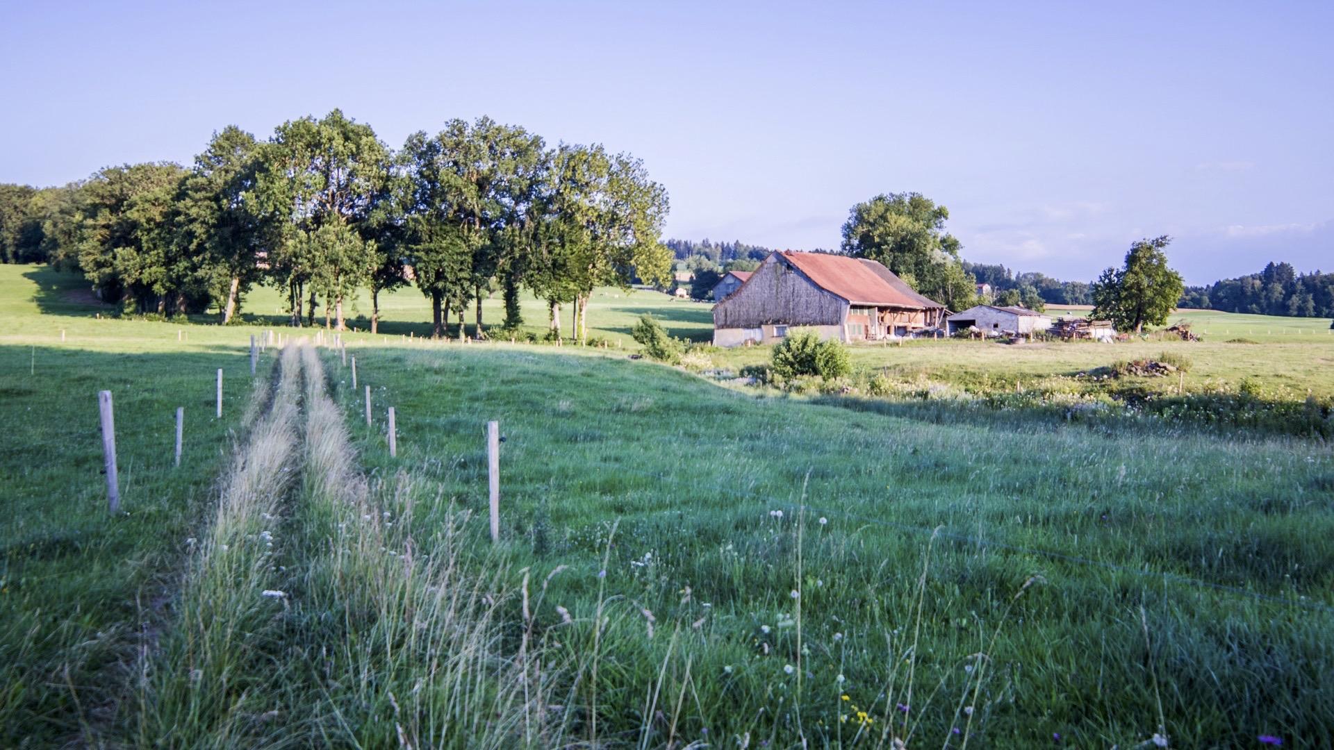
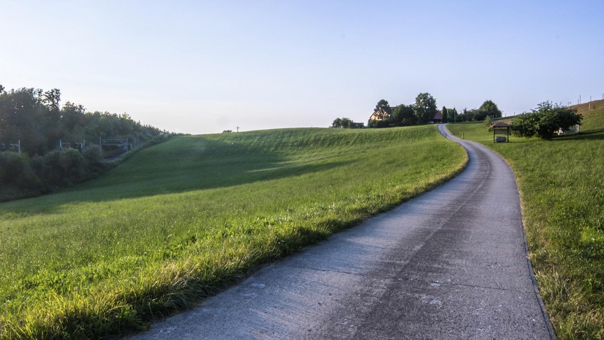
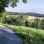
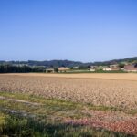
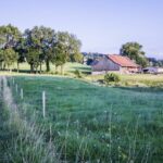
The walk begins heading down from the centre of the small town to En Favez. Head towards Promasens and then climb back up to the hamlet of Arlens. In Favery, take the bridge that crosses the railway line. A short detour to the hamlets of St-Joseph and Mossel gives you the opportunity to admire a small chapel. Back in Favery, head towards Blessens and then turn left, at the point marked 705 on your map, towards Le Gros Pra. Return to Rue via an undulating path through the Glâne countryside. At La Tannerie, head towards the Charrotton stream before walking back up into the town.
Tip: extend your walk with a visit to the small mediaeval town of Rue. Explore its historic monuments and castle with the two following walks: "Walk in Rue Intra-muros" and "Walk in Rue Extra-muros", which take each around an hour.
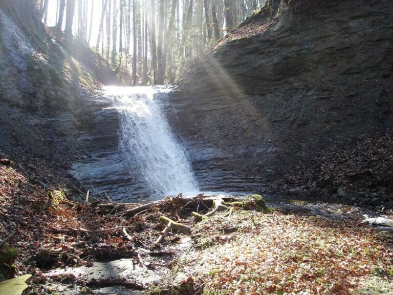
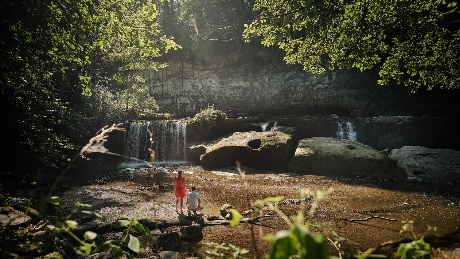
Don't miss: After the walk through the beautiful coutryside, relax at beautiful Chavannettes waterfalls which are not far from your route.
Accessible by public transport: yes | Nearest bus or train stop: Rue ville (bus)
Accessible by car : yes
Difference in height: + 294 m / - 294 m


Properties of the itinerarie
Difficulty: Very easy
Duration: 03:00
Distance: 11 km
Loop itinerary
Ascent/Descent: +295m / -295m
Altitude min./max.: 617m / 817m