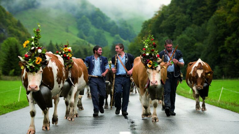

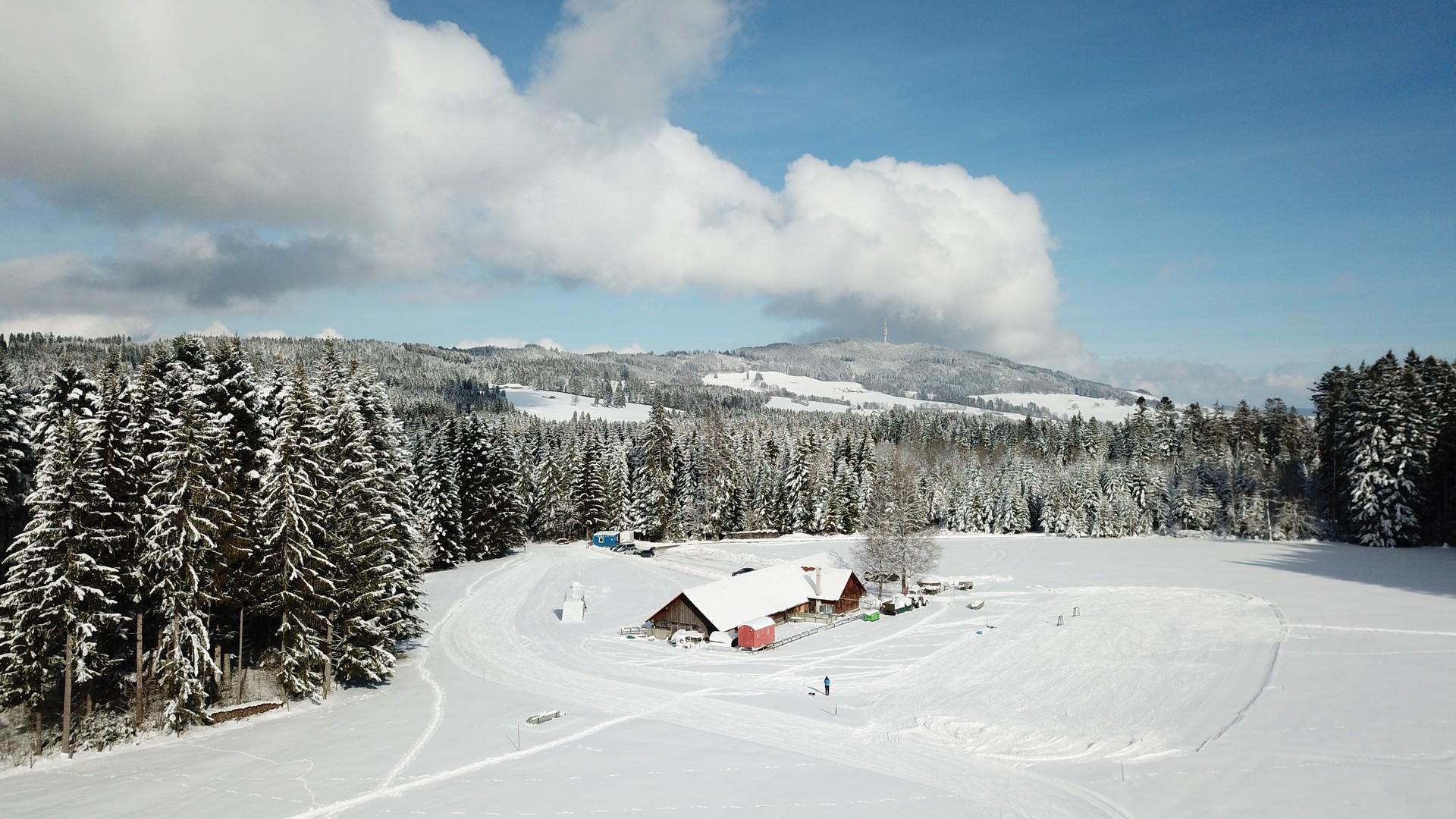
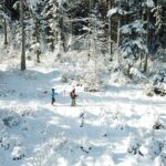
Located on the south face of the Gibloux, our snowshoe trails offer an idyllic setting in winter. Between peat bogs, pastures and forests, you might think you are in Lapland. The view of the Moléson and the Pre-Alps is there to remind us that we are in Gruyère. Various starting points are accessible by car from Riaz, Marsens, Sorens (TPF Bus) and Maules.
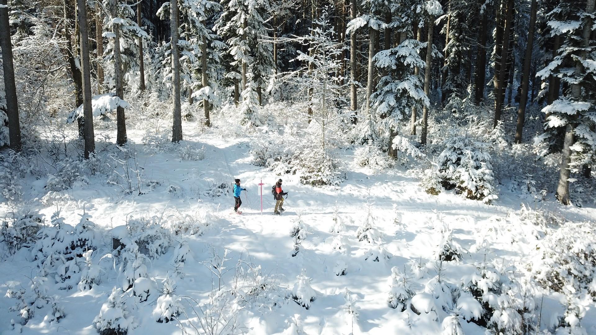
Enjoy the Red Trail, an easy hike between forest and forest edges.
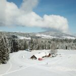
From the Chalet-Neuf, turn left, walk along the clearing to the edge of the forest and follow signpost B. Stroll between the snow-covered fir trees to reach point B "Prâ Boû" then continue in the forest until you reach point C "Devin Dessus". After a slight climb, you can see a superb panorama overlooking the Vuadens region, Vaulruz, with the Moléson as a backdrop.
Once out of the forest, join the sign D "Prâ Pèjé". From there, go to your left, walk along the edge of the forest and reach the highest point of 1'069m from "Pra Fillieux". The hike continues through the woods to point F "Reservoir". Continue up to point G then, go on your left following signpost A. When you reach the edge, you will discover the cross-country ski trails and you will see the Chalet-Neuf in the distance, which marks the end of your hike.
Find in the "Download files" a complete description of the snowshoe trail to download, print and take with you during your hike.
More connections are possible (in orange in the PDF file):
1. Connection Sur les Monts (K) (850 m.)
2. Connection Passerelle des Bugnons (N) / Les Mottes (R via Q) (1.27 km.)
Information
Frédéric PuginBuvette du Chalet Neuf, Chemin du Chalet Neuf, 1632, Riaz
Frédéric Pugin
Chemin du Chalet Neuf
1632 Riaz
This unprepared itinerary is marked. You take this trail at your own risk.
Properties of the itinerarie
Type of activity: Sports
Difficulty: Easy
Duration: 01:15
Distance: 4 km
Ascent/Descent: +154m / -154m
Altitude min./max.: 973m / 1069m