Leave Fribourg to get to the charming medieval city of Morat, on the lakeshore. Hike through forests, fields and small villages far away from the big highways.
Fribourg - Morat
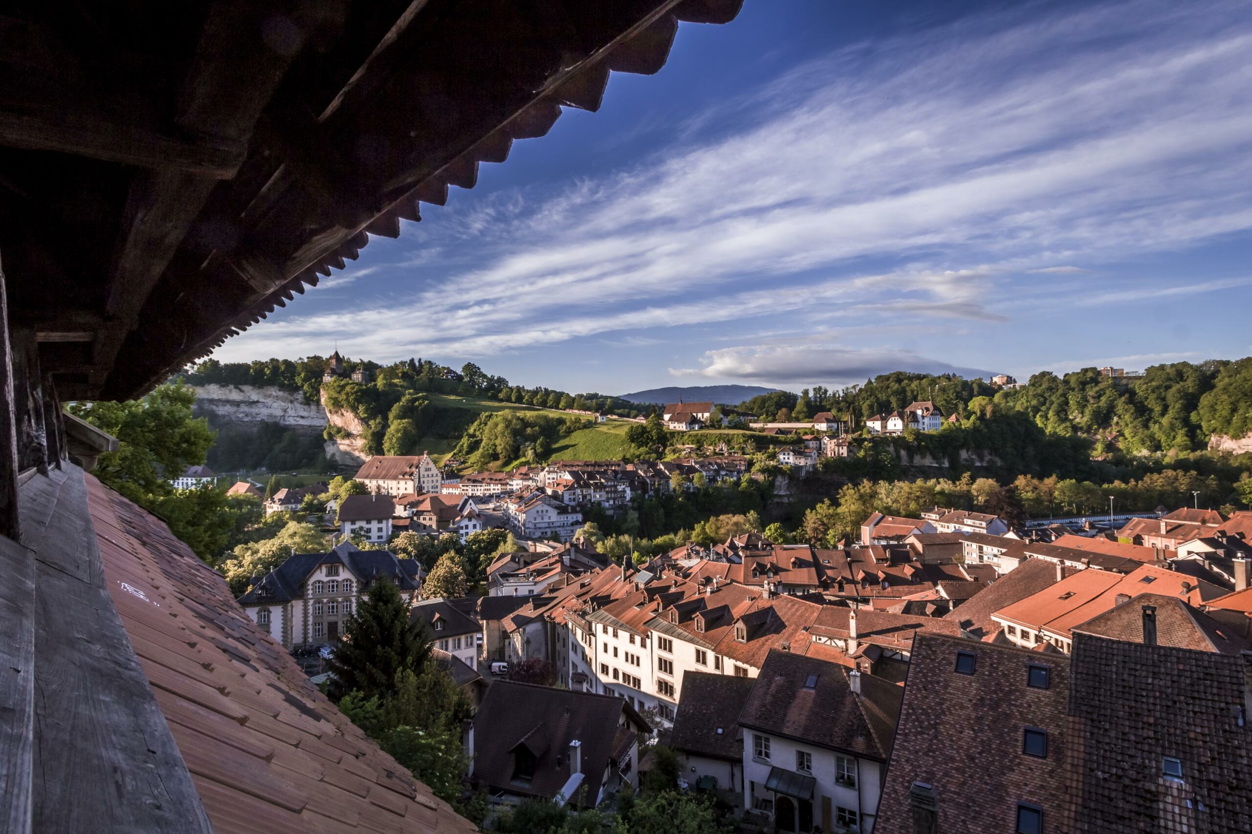
Leave Fribourg and head to Granges-Paccot. (If you don't want to hike through Fribourg city, take the bus number 1 direction Portes-de-Fribourg to the last stop, follow the Route de la Chenevière and take a right turn on Route des Maçons like indicated on the map below). After going through the village of La Corbaz and some woods and fields, you arrive in Courtepin.
Go along the golf course of Wallenried and continue your trip to Chandossel. This small region belongs atypically to the canton of Bern. You arrive in Morat through Greng (castel of the 18th Century) along the lakeshore.
Variant Courtepin - Morat, the Beaver River Trail
At your arrival in Courtepin, you can chose another variant and discover the Beaver Trail. Follow the Route de Morat. At the end of the village take a right turn on a small path that leads you to the Bibera River. Bibera means beaver in german and if you are lucky, you will have the opportunity to observe some of them... otherwise you will see the trees they have eaten away to build their houses.
Follow the waterway to Jeuss and take a leftturn, go through the village of Jeuss and Salvenach to reach Morat.
Return possible by train
Properties of the itinerarie
Type of activity: Sports
Difficulty: Challenging
Duration: 05:40
Distance: 23 km
Ascent/Descent: +657m / -835m
Altitude min./max.: 434m / 729m